The AA Prepared Routes Service
Forgotten Vehicles & Transport · 1912–2000s
Published
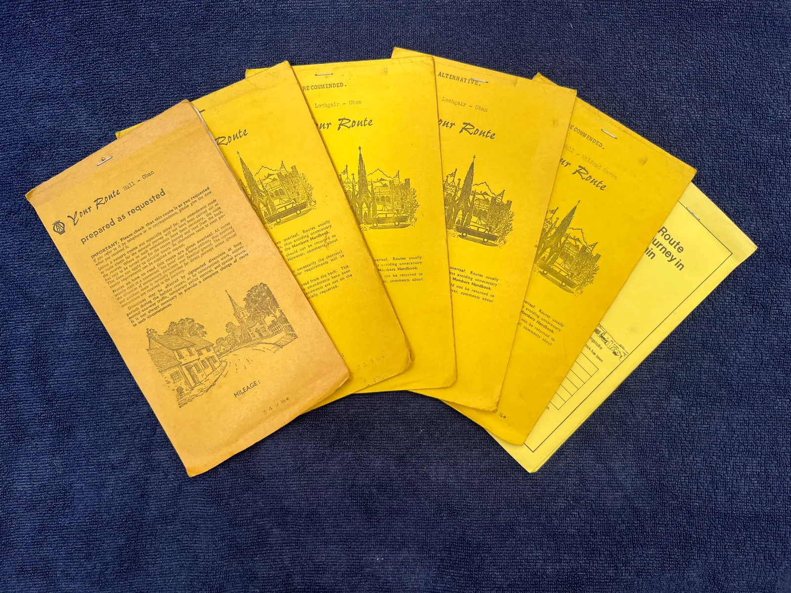
The AA Prepared Routes Service was the Automobile Association’s evolving British journey-planning operation. Introduced with handwritten paper route cards around 1912, it later appeared under names including the Home Routes Service and members’ routes service. Its journey-specific packs could contain written directions, strip maps and town plans, with formats varying by period and route. Home Routes production was computerised internally in 1984, but AA staff still calculated the journeys. Public self-service calculation arrived with the online AA Route Planner in October 1999, and the Bristol postal-processing operation closed shortly afterwards.
Why It Mattered
How the Paper Routes Worked
Jane Dallaway’s Surviving AA Route Plan
From Staff Compilation to Self-Service
Associated With
Defining Feature
Status
Primary Records
Image Sources
Rights Notice
Gallery
Credit
Jane Dallaway
Licence
Permission
Permission was granted for reproduction by Forgotten Archive. This does not grant permission for third-party reuse.
Caption
AA route booklets turned a planned car journey into a portable set of instructions, personalised before digital navigation.
Credit
Jane Dallaway
Licence
Permission
Permission was granted for reproduction by Forgotten Archive. This does not grant permission for third-party reuse.
Caption
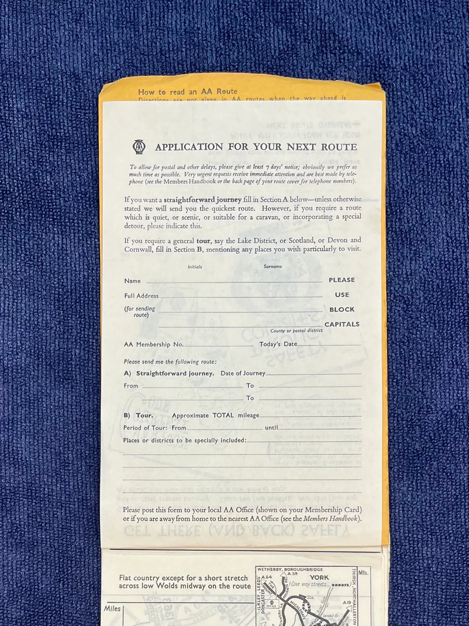
The application form shows how motorists requested an AA route before a journey could be calculated instantly on a screen.
Credit
Jane Dallaway
Licence
Permission
Permission was granted for reproduction by Forgotten Archive. This does not grant permission for third-party reuse.
Caption
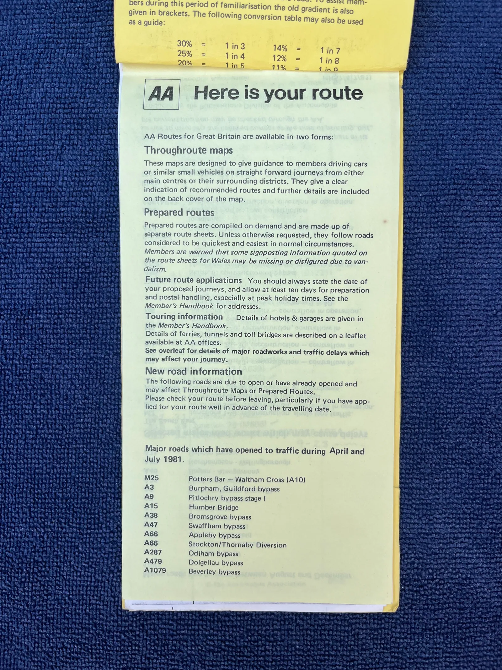
“Here is your route” introduces the AA’s printed directions and road updates, showing the guidance that accompanied the booklets.
Credit
Jane Dallaway
Licence
Permission
Permission was granted for reproduction by Forgotten Archive. This does not grant permission for third-party reuse.
Caption
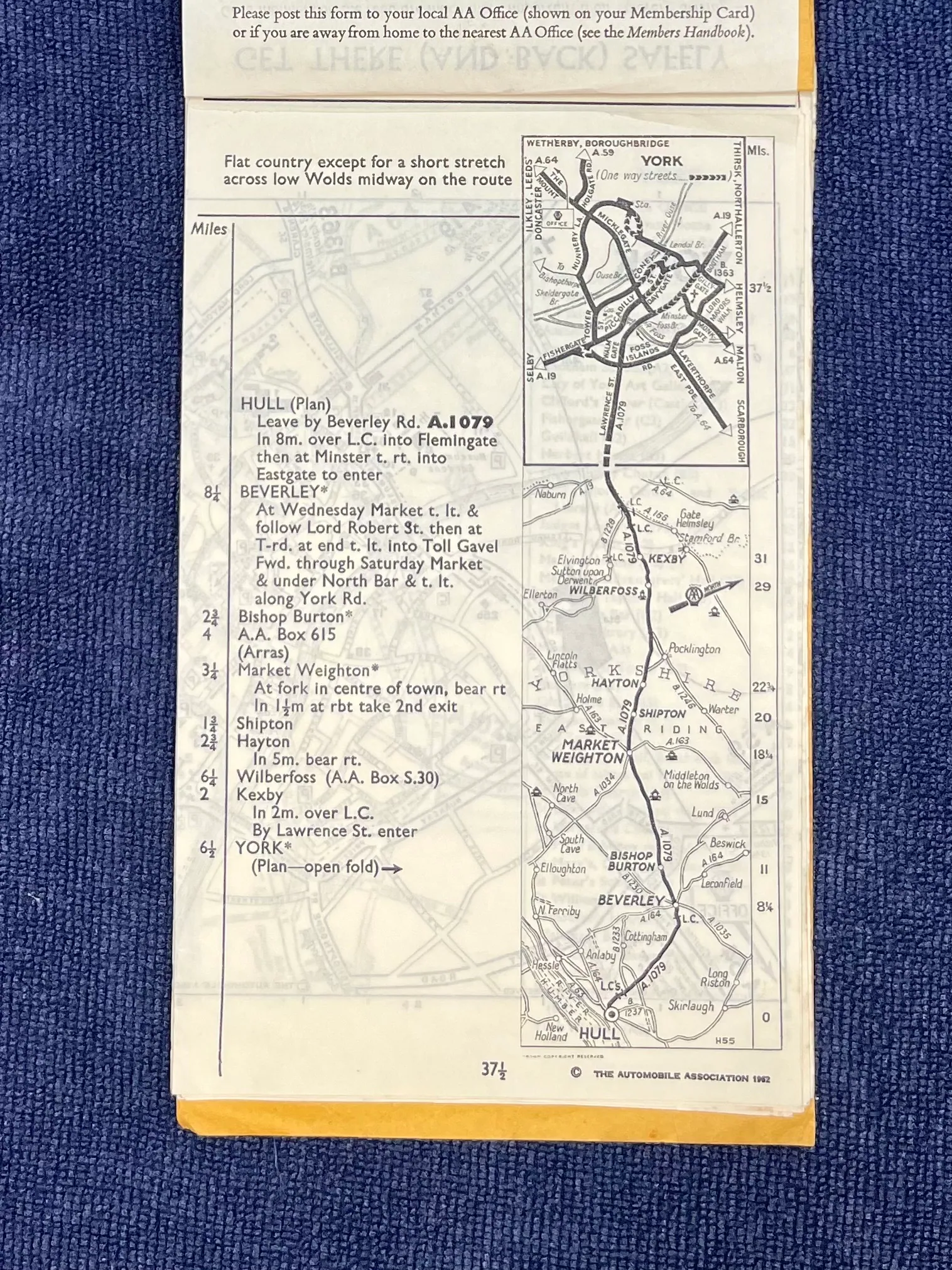
The Hull-to-York route combines written turns with small maps, allowing a motorist to follow the journey page by page.
Credit
Jane Dallaway
Licence
Permission
Permission was granted for reproduction by Forgotten Archive. This does not grant permission for third-party reuse.
Caption
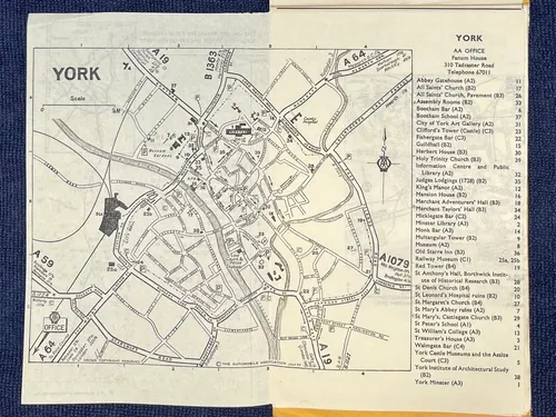
The York street map supplements the longer route with the detail needed to navigate the destination itself.